PAGE CONTENTS
Objectives
Objectives of the project:
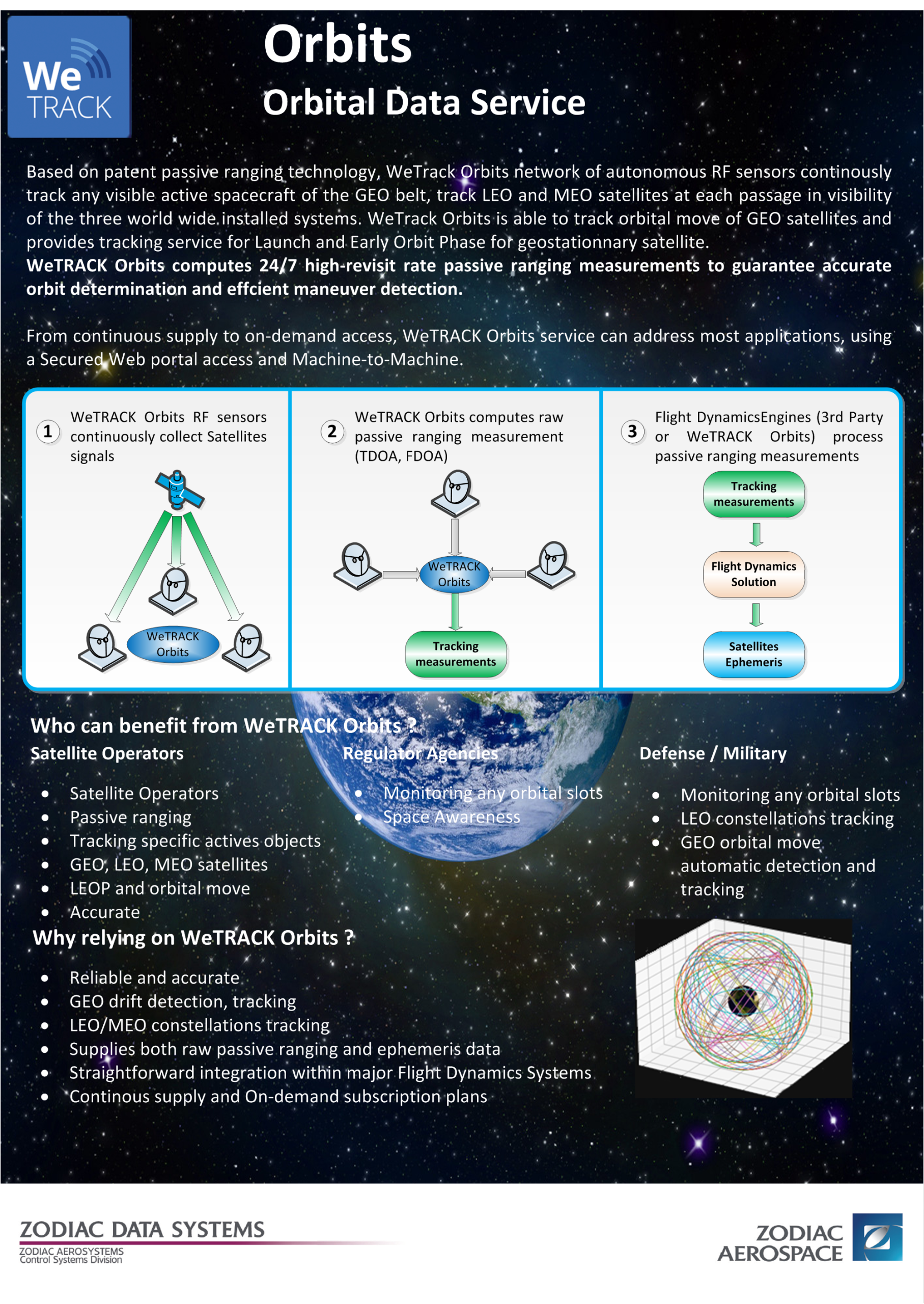
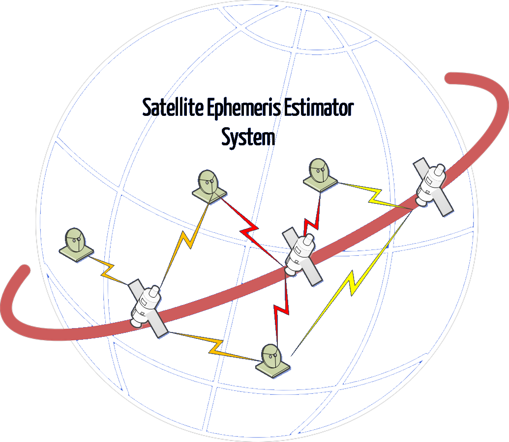
- With a simple, light and low cost system, to study and prove that it’s possible to estimate accurate ephemeris with a fully passive ranging method for:
- LEOP: from the start of the launch to the final position of the satellite;
- Orbital move for Geostationary satellite: when a satellite changed its longitude position;
- MEO: for satellites in Medium Earth Orbit;
- LEO: for satellites in Low Earth Orbit.
- When it’s possible, to give expected accuracy of the system;
- To confirm the architecture of the system.
Challenges
To find which parameters the system shall process for an accurate satellite’s ephemeris, then to define hardware and software architectures. With system definition, to define accuracy assessment.
System Architecture
Architecture of the system will be based on several passives small stations.

Plan
From standard orbits, study of parameters drift, range. Overall system software modelization for simulation.
From these parameters, statistical study to define which parameters can be processed
Architecture definition for hardware and software modules.
Current Status
Feasibility study showed that passive ranging applied to LEO/MEO/LEOP and orbital move satellites is possible and give accurate ephemeris restitutions.
Phase 1, feasibility and definition step, of the product development is over.

